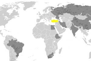
A devastating magnitude 7.8 earthquake struck the Turkish province of Kahramanmaras, approximately 23 kilometers east of Nurdagi in the Gaziantep province near the Syrian border, at 4:17 a.m. local time on Monday, February 6, 2023, followed by a 7.5 magnitude aftershock nine hours later.
More than 6,000 people have died in Turkey and Syria, and tens of thousands of people have been injured. Those numbers are expected to increase as search and rescue activities continue. At least 13 million people in the region have been impacted by the earthquake and aftershock. Turkey’s president declared a three-month state of emergency in the 10 provinces hardest hit by the earthquake.
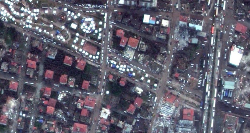
Maxar satellite imagery company has released photos of earthquake area it took before and after the incident. Here are some photos of Islahiye and Nurdagi.